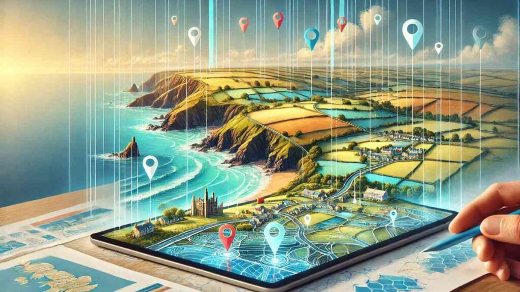
Introduction to Cornwall Interactive Mapping
Cornwall Interactive Mapping is a revolutionary tool that transforms the way we explore Cornwall’s stunning landscapes, historical landmarks, and ecological treasures. With its user-friendly interface, it enables residents, tourists, and researchers to dive deep into Cornwall’s rich environment, public rights of way, and natural beauty.
Interactive maps have become a game-changer for navigation, urban planning, and environmental conservation, offering a digital window into the soul of Cornwall.
Why Cornwall Interactive Mapping Matters
Interactive mapping tools are not just about maps; they’re a gateway to understanding a region’s culture, environment, and history. Cornwall’s interactive mapping platforms provide access to:
- Public Rights of Way: Understanding walking trails and public paths.
- Environmental Data: Insights into Cornwall’s ecology and marine life.
- Tourism Planning: Identifying landmarks, attractions, and hidden gems.
- Conservation Efforts: Assisting in protecting Cornwall’s natural beauty.
Whether you’re a hiker, historian, or urban planner, these tools make it easier to engage with Cornwall’s landscapes effectively.
Features of Cornwall Interactive Mapping
1. Comprehensive Geographic Insights
Cornwall Interactive Mapping offers high-quality geographic data, covering everything from the rugged cliffs of Land’s End to the serene beaches of St. Ives.
2. Public Rights of Way
The Definitive Map serves as the legal record of Cornwall’s public paths, ensuring hikers and nature enthusiasts can explore safely while respecting protected areas.
3. Marine Data and Coastal Protection
Cornwall’s coastal regions are vital for its economy and ecology. Marine mapping tools highlight fishing zones, biodiversity areas, and conservation sites to safeguard Cornwall’s coastal treasures.
4. Historical Landmarks
Interactive mapping uncovers Cornwall’s historical gems, such as Tintagel Castle and the ancient stone circles, offering a new perspective on its heritage.
How to Use Cornwall Interactive Mapping Tools
Step 1: Define Your Purpose
Whether you’re planning a hiking trip or studying Cornwall’s marine biodiversity, identify your goal to narrow your focus.
Step 2: Select the Right Tool
Cornwall offers various mapping platforms tailored to specific needs. Choose one that aligns with your objectives, such as hiking paths, ecological research, or tourism.
Step 3: Navigate and Explore
Utilize the interactive layers to uncover specific data. For instance, zoom in on a trail map to check terrain details or explore historical sites using satellite imagery.
Step 4: Analyze and Act
Export data or create custom maps for your projects, making the most of these tools for academic research, conservation efforts, or travel planning.
Who Benefits from Cornwall Interactive Mapping?
1. Local Residents
Mapping tools enhance local navigation, aid in property management, and support community projects.
2. Tourists
Visitors can discover attractions, plan scenic routes, and learn about Cornwall’s rich history.
3. Environmentalists and Researchers
Ecologists use mapping for data-driven conservation, studying Cornwall’s flora, fauna, and marine ecosystems.
4. Urban Planners and Policymakers
Interactive maps assist in regional development, ensuring sustainable growth while preserving Cornwall’s natural beauty.
The Impact of Interactive Mapping on Cornwall’s Future
Cornwall Interactive Mapping is more than a tool; it’s a vision for sustainable living and environmental stewardship. By integrating cutting-edge technology with local and global needs, it bridges the gap between exploration and preservation.
This mapping initiative also supports Cornwall’s tourism economy by attracting visitors eager to explore its mapped wonders. Furthermore, it empowers conservationists to act decisively, armed with precise, up-to-date data.
Conclusion
Cornwall Interactive Mapping is a gateway to understanding and preserving one of England’s most cherished regions. With its user-friendly design and vast array of features, it offers a wealth of information for tourists, locals, and environmentalists alike.
As technology and sustainability converge, Cornwall Interactive Mapping ensures the region’s rich heritage and stunning landscapes remain accessible and protected for generations to come.
For More Visit, MirrorMagazine.co.uk


