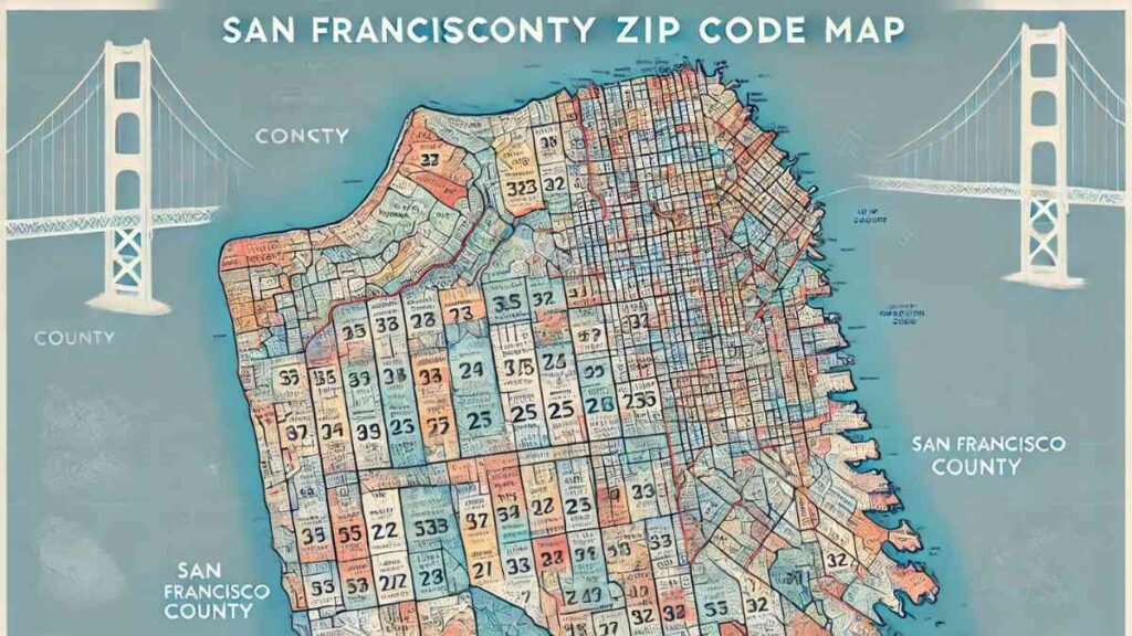
San Francisco County is a diverse and vibrant region, and knowing the zip code areas can help residents, businesses, and visitors navigate the city’s landscape more effectively. San Francisco County Zip Code Map serves as an invaluable tool, offering a clear depiction of the boundaries and divisions that define various neighborhoods. Whether you’re moving into a new area, sending packages, or exploring real estate options, understanding the city through its zip code map can simplify your journey through this iconic county.
Understanding San Francisco’s Zip Codes
San Francisco County is made up of multiple zip codes, each representing distinct neighborhoods, communities, and regions. The zip code system not only helps in mail distribution but also acts as a geographic marker, outlining different zones for residential, commercial, and industrial purposes. With a wide range of landscapes from coastal regions to bustling city centers, the San Francisco County Zip Code Map reveals the rich diversity within the county’s borders.
The History Behind San Francisco’s Zip Code System
The introduction of zip codes across the United States in the 1960s was a milestone in improving mail delivery efficiency. San Francisco County, with its historical roots and rapid urbanization, adopted the system early on, allowing residents and businesses to enjoy faster, more reliable mail services. Over time, the zip code system evolved, adapting to population growth and urban changes. Today, it is not just a tool for mail but a critical way to segment the city’s diverse neighborhoods, each with its unique identity.
Major Zip Code Areas in San Francisco County
San Francisco’s zip codes range from 94102 to 94158, covering an array of neighborhoods, from iconic tourist destinations to local residential hubs. Here are some of the key zip code regions:
94102: Downtown and Civic Center
This central area covers neighborhoods such as Civic Center, Union Square, and parts of the Tenderloin. The 94102 zip code represents the heart of the city, known for its bustling business district and cultural landmarks.
94110: Mission District
The Mission District, covered by the 94110 zip code, is famous for its rich cultural history, vibrant arts scene, and eclectic food options. This area showcases the fusion of old San Francisco charm with modern trends.
94117: Haight-Ashbury
Best known for its role in the 1960s counterculture movement, Haight-Ashbury falls under the 94117 zip code. Today, it’s a blend of historic landmarks, boutique stores, and a vibrant community of residents and visitors.
94123: Marina District
The Marina District, covered by zip code 94123, is one of the city’s more upscale neighborhoods, offering stunning views of the Golden Gate Bridge and proximity to outdoor activities.
94133: North Beach and Fisherman’s Wharf
This zip code includes the lively areas of North Beach and Fisherman’s Wharf, known for their Italian heritage, seafood, and tourist attractions.
Why Understanding Zip Codes Matters in San Francisco
Zip codes in San Francisco serve more than just mail distribution; they also reflect the diversity of the city’s infrastructure, neighborhoods, and demographics. By familiarizing yourself with the San Francisco County Zip Code Map, you can better understand where certain services are offered, where real estate might be booming, and how transportation networks flow throughout the county.
Navigating Business and Real Estate
The San Francisco County Zip Code Map is particularly useful for businesses and real estate professionals. Certain zip codes are home to high-end residential areas, while others offer a mix of commercial and industrial spaces. Understanding the zip code map allows investors and entrepreneurs to make informed decisions based on geographic and demographic data. For real estate, zip codes provide insight into property values, neighborhood amenities, and overall desirability.
Planning Your Commute
For residents and visitors alike, the San Francisco County Zip Code Map can also help with navigating the city’s public transportation. By knowing which zip codes correspond to particular neighborhoods, commuters can plan the most efficient routes using public transportation, including the BART, Muni, and other transit services.
Zip Codes and Community Services
Each zip code in San Francisco is tied to a variety of community services, including schools, healthcare facilities, and government offices. Understanding your zip code area ensures you are aware of the local resources available, such as nearby clinics, schools, libraries, and recreational centers.
Conclusion: Master the City with the San Francisco County Zip Code Map
Whether you are a new resident, a business owner, or a visitor, understanding San Francisco through its zip codes is essential for navigating and appreciating its diverse regions. The San Francisco County Zip Code Map provides you with a comprehensive view of the city’s structure, helping you make informed decisions in everything from real estate to commuting.
For More Visit, MirrorMagazine.co.uk


